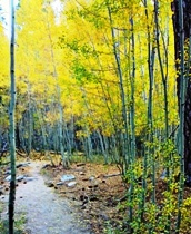
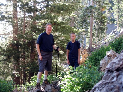
After spending a cool night under the stars listening to some yahoo chop wood several times during the night to keep his campfire going, we arose at 4:20 AM this morning. We made our way to Vincent Gap from the Blue Ridge campground. At Vincent gap there is this large parking lot and the trail head for Mt. Baden Powell. One of the scouts did not feel well the entire group traveled back to Riverside, except for Jacob and I. We had unfinished business to take care of. Last year when we hiked Mt. Baden Powell and found the geocache at the top we missed a geocache that is about 1.5 miles from the trail head. We made our way to Lamel Springs. We found the cache fairly close to the springs and started back to the main trail.
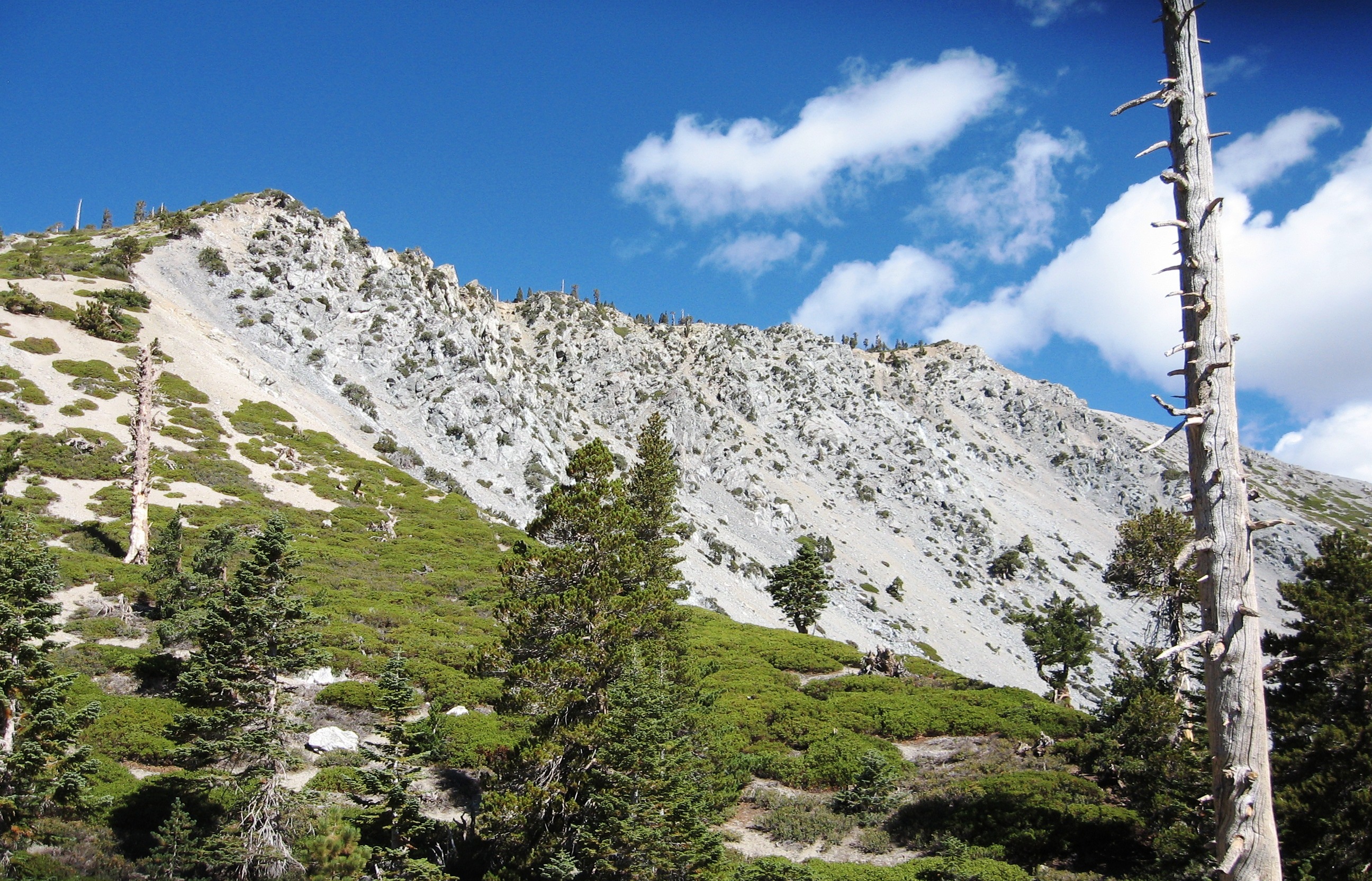
Jacob asked it we were going up or back down. I answered, up of course. We made our way up the steep trail. The trail head is at 6,593 feet and the peak is 9,399 feet. The hike is 4 miles one way making the elevation gain 700 feet per mile. The hike is rated as strenuous. It was about 3 and a half hours for us to get to the top.
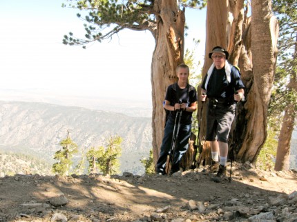
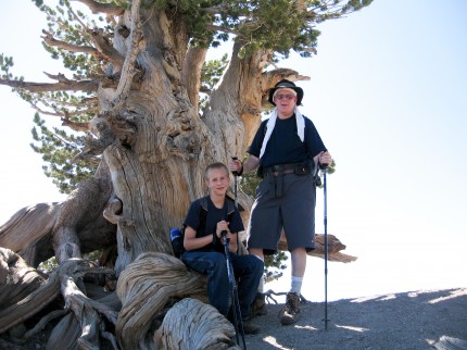
Close to the top is the Wally Waldron tree. It is about 1,500 years old and one of the oldest trees in the area.
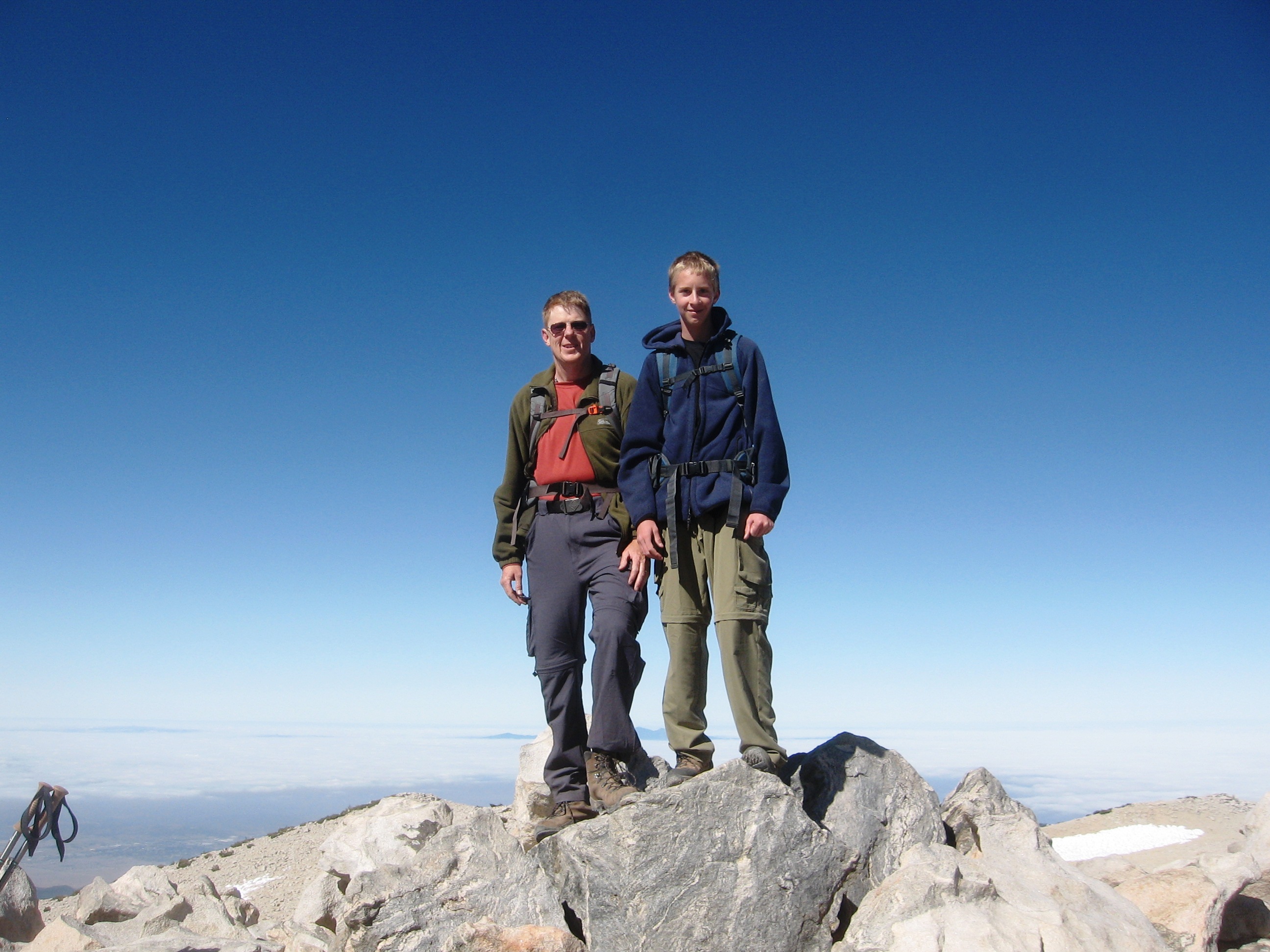
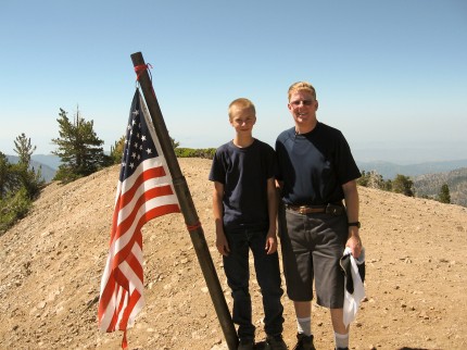
Once we were on top, the gentleman that took our picture asked us to take his picture at the flag. He was kind enough to take our picture again.
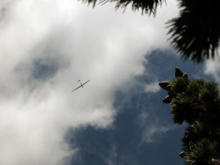
We found a place in the shade and a sailplane buzzed the top of the mountain at what seemed about a hundred feet or less. We were looking west and all of a sudden this plane came out of the west over our heads. Jacob took about 50 pictures of the sailplane as it circled around catching thermals.
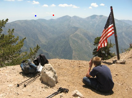
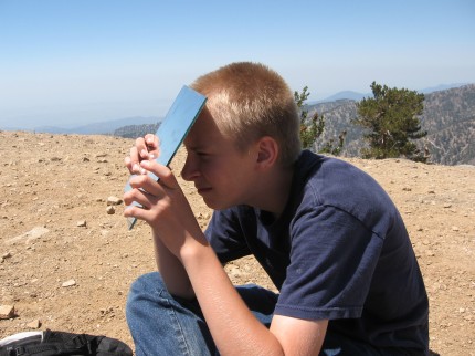
One of the reasons to be on the top was for Operation On Target. That is where scouts use mirrors to flash signals from peak to peak. We were able to signal Keller Peak and Mt. San Gorgonio from our location. The peaks are the far ranges barely visible. Keller Peak is under the one small cloud (blue marker) and Mt. San Gorgonio is under the two small clouds (red marker) on the left end of the high ridge. (Click on the picture to make it bigger – then you will see the distant peaks and the small clouds)
We had an old scouter stop by to instruct us on the proper method of using signaling mirrors. After we patiently listened we explained the geometry involved in making the signaling mirror work. There is a clear spot or “hole” in the center of the mirror and another small mirror glued on the back. As Jacob sites in the peak of his choice through the hole, the sun comes through the same hole and leaves a spot of light on his on his shirt. He looks in a small mirror attached to the back of large mirror and aligns the “hole” up with the spot of light on his shirt. The geometry then makes the light from the mirror beam to the spot Jacob has sighted in.
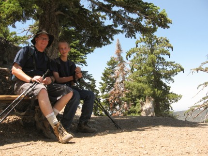
After over an hour at the top we headed back down. We made a stop at the one bench on the trail. It is less than a mile from the trail head.
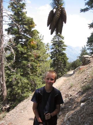
We saw things we did not see on the way up. How could you miss that bunch of pine cones?
It took up almost two hours to make it down. It was then off to Jensen’s in Wrightwood to get ice cream. Jacob calls it Leftwood because all the houses are on the left of the road on the way up. IT was Ben and Jerry’s for me and Jacob wanted something a little more cost effective – more ice cream for less money. I told him that it was about the taste, not saving a buck. Especially after climbing a mountain.

