Yesterday was my birthday and a birthday lunch was set up to celebrate. Janet and I met with Scott, Emily and Walter, Emily’s husband at Zacatecas for lunch. There was the obligatory centerpiece with the numbers 50 on it. I wore a necklace with 50’s on it as well. Lunch was good and Emily picked up the tab, $50.50 by chance. It was as if the 50 thing was on a roll.
We left Zacatecas and headed home for some Apple Betty, a great apple desert with vanilla ice cream. I had to blow out some candles, including one large 5 and one large 0. Soon after lunch Emily had to leave to go to work and Scott left to meet up with friends.
I finished up packing, loaded the truck and had one stop before I started the real birthday event. The stop was to take Eric a plate with some of the desert on it to his workplace. Then I was on the road. I let everyone know that they could come with me and celebrate my 50th at about 10 thousand feet. I had no takers.
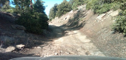
It was about an hour dive to the forest service road where I got off the highway. The dirt forest service road to the Fish Creek trail head was rougher than usual. We had a big storm the past week where there was a lot of rain and hail in the San Gorgonio wilderness. I never really account for the time it takes on the dirt road.
Once I reached the trail head I grabbed my backpack and headed out. It was 6:00 in the evening and the sun was lower in the sky than I really wanted to see. I meet a deer hunter in his camouflage clothing carrying his bow in search of some meat for his freezer. The beginning of the trail is fairly easy, because it is downhill. Jacob told me, with a big grin, to enjoy the last 0.6 miles of my trip as they would be uphill on the way out. Soon enough I was going uphill.
I made it past Fish Creek camp which was 1.8 miles from the trailhead and headed past the spring so I could pick up a couple more liters of water. Once I got my water, I put may backpack on and took a few steps when I realized it had gotten dark. I had about 2.5 miles more to go. I took my backpack off, got my headlamp out as well as my jacket and knit cap. I know that it would be getting cooler with the sun down. It was so dark; the water in the stream cannot even be seen with the poor flash in the BlackBerry.
As I made my way up hill it was quiet. All I could hear was my heartbeat, breathing and the noise that my feet and hiking posed were making. When I stopped, it was extremely quiet. No one was around. In fact, it was difficult to see the trail. No one had traveled the trail after the storms the past week. In places the trail seemed to disappear or at least become extremely faint. I would have been more comfortable if I had someone along for the trek. I did know that Ron would be a couple of hours behind me in the trail, so If I needed some type of help, he would be available.
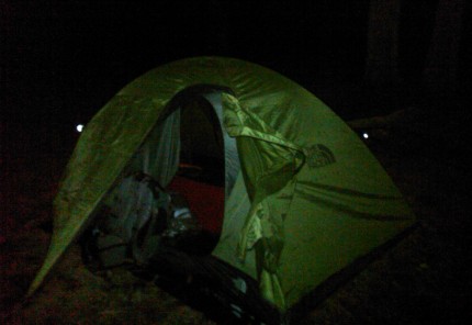
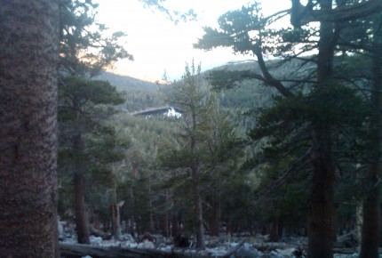
Soon enough I arrived at Fish Creek Saddle. I put up the tent that I rented. It would have helped to put it together once in the light, but it went together quick enough. I packed my daypack for the trip to the peak. I was in my tent at 10:00 and soon enough falling asleep. I did wake up to the crunching of decomposed granite under the foot of a hiker coming up the trail. Ron arrived at 11:15.
The sun started up early the next morning. We wanted to head out by about 6:15. With a cliff bar, which is extremely difficult to chew when it had been exposed to the high 30’s, for breakfast and a few good swigs of water, we were on our way. It was going to be a 6 mile hike to the top.
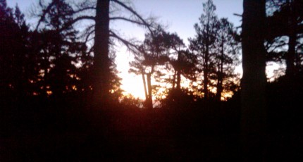
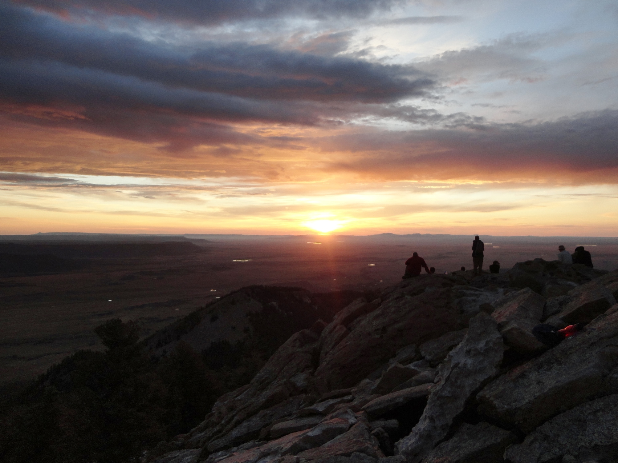
The sun started lighting up the mountains around Dry Lake. It is a little different looking at dry lake from this vantage point this early in the morning. It reminded me of when Jacob and I were at Dry Lake taking pictures as the sun came up.
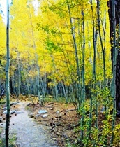
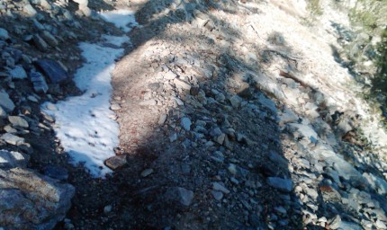
As we traveled the trail, we came across places that looked like snow. It actually was piles of hail from the storm a couple of days before.
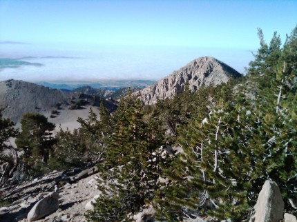
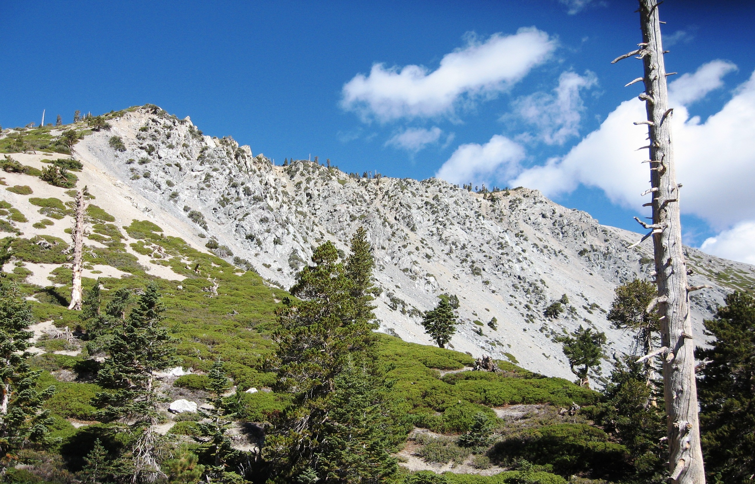
As we got closer to the top, I took a picture of Dragons Head peak with the cloud cover over Banning in the background. One of these days I want to get to the top of Dragons Head along with a few other peaks in the area.
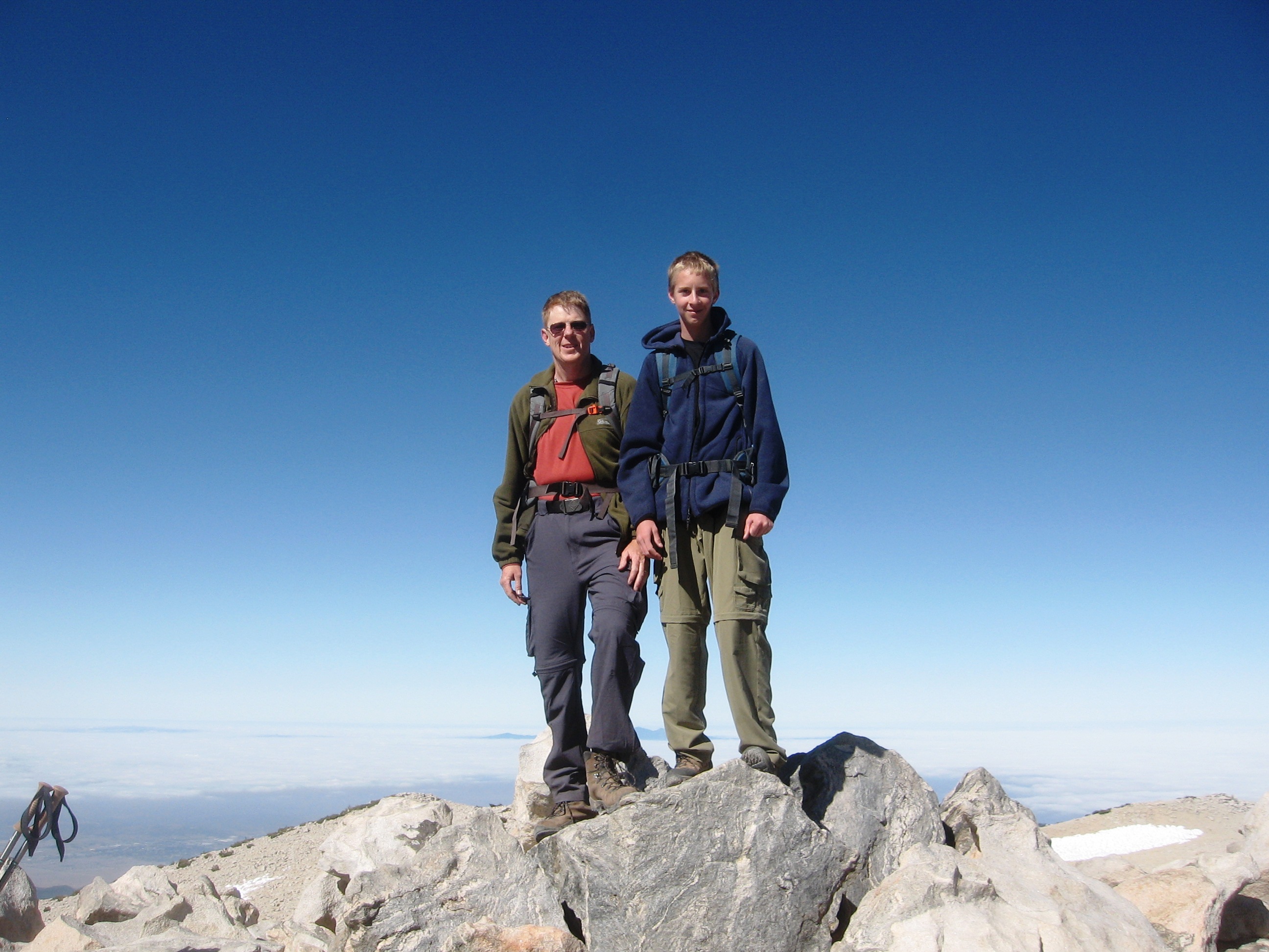
Once we reached the top, about 9:30 in the morning, we sat down in a ten by ten area enclosed by a small rock wall. This is the place where we signal the other mountain tops. As we were waiting, one of the first things we heard on the HAM radio was, KJ6RDH, KJ6RDH, KJ6KQE. I told Ron, I believe that is for me. One of Janet’s coworker’s husbands is a HAM operator. I let Janet know that he could reach me on the radio in the morning so that she would know that I made it through the night and up to the top of Mt. San Gorgonio.
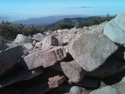
The view from the top was like looking down on clouds. Sticking out of the clouds in the distance is Santiago Peak. I guess that is what you see when you are at 11,499 feet above sea level.
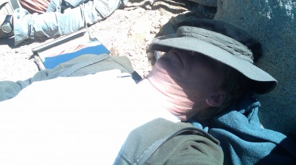
We signaled Mt. Baden Powell and a group at Little Baldy for Operation On Target, a Boy Scout activity. The group at Little Baldy needed to hike some more to get to the tip of Mt. Baldy. While we waited, we took time for an early morning nap. When you are 50, what is wrong with and early morning nap?
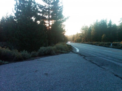
About 20 minutes after noon we started our trek back to Fish Creek Saddle to get the rest of our gear. From the top, we had 11.5 miles to get back to the trail head. The hike down went fairly well. Both of us were getting tired. Then of course, there is the last 0.6 miles of uphill to the trail head. We arrived at the trail head ad 5:45. Then there was the drive back to the highway.
Once I got on the highway, I thought to myself, in less than 24 hours I have traveled 23 miles on foot and slept on the ground at about 10 thousand feet. What a wonderful way to start the next 50.




Happy belated birthday, Sir Gregory. Sorry we are late. We’re a little distracted around here lately. Sounds like a good way to start a new decade.