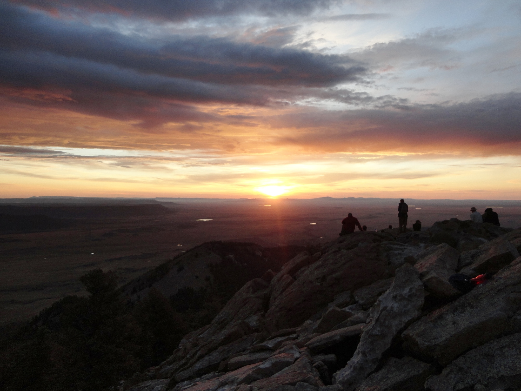
In my quest to exercise a little, I set forth the goal to climb the highest peaks in the three southern California mountain ranges. First was Mt. San Gorgonio at 11,499 feet in the San Bernardino Mountains. Today was Mt. Baldy, officially known as Mount San Antonio, in the San Gabriel Mountains. Mt. San Jacinto in the San Jacinto Mountains will come later.
Mt. Baldy sits at 10,064 feet and has a few different ways to get to the top. The choices for today’s hike were the Bear Canyon trail at 6.4 miles one way with an elevation gain of 5,804 feet. The second was the Baldy Bowl Trail at 4.6 miles one way with an elevation gain of 3,904.
The last was either taking the fire service road or riding the ski lift to Baldy Notch and then hiking the Devils Backbone Trail. This route was the same elevation gain, if hiked as the Baldy Bowl Trail. It would be shorter using the ski lift. However, that defeats the purpose of going on a good hike.
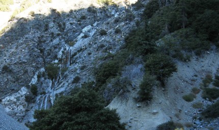
For this trip a friend was going to accompany me. Mike is moving to Washington state in the next week and Mt. Baldy was still on his list of things to do. We left Riverside at about 6:50 am and started our trek at the trail head at Manker Flats in the San Gabriel Mountains hour later. The hike begins on a paved road past a gate. The paved road leads to San Antonio Falls which is 0.6 miles from the trail head. The falls were small as the snow has long melted.
From the falls the road turns back towards the east and is now dirt. As we make our way up the dirt road, we come to an unmarked trail that could easily be passed up. It is the trail we want, so we start making our way up the trail.
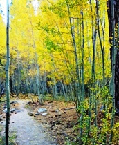
The trail is fairly steep as it makes its way up. The trail is somewhat shaded in this area and the cool morning air feels good. We also begin to see the valley down below.
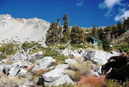
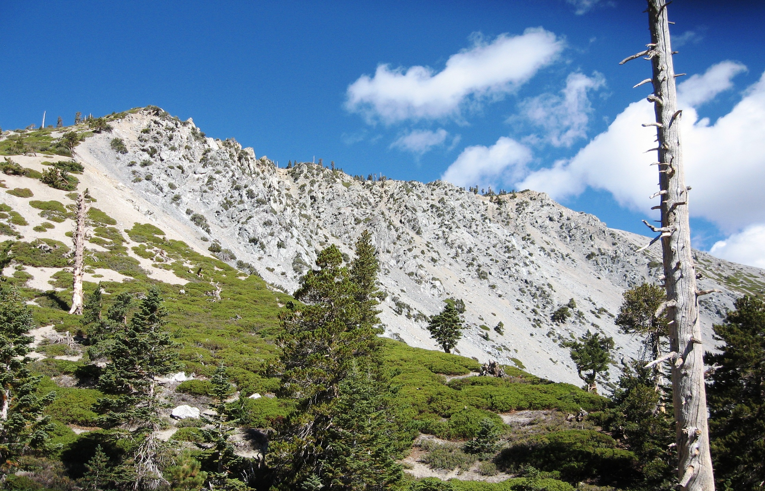
We continue to climb the trail. Soon the Ski Hut comes into view with the large bowl created by chunks of rock breaking off the rock structures from above. The Ski Hut, when we reach it, will mark the 2.5 mile mark. We will have 2.1 more miles to go and we will need to get to the top of that ridge at the top left side of the picture.
At the Ski Hut we take a short break taking in the ominous thought of what was ahead. We head out across the bottom of the bowl meandering through the rocks and boulders. Once we reach the southern side of the bowl we begin climbing a labyrinth of paths that lead up the steep slope of the canyons west wall. Once we reach the ridge the trail levels out to a moderate grade for a period of time. It also gives us a chance to look northward across the bowl.
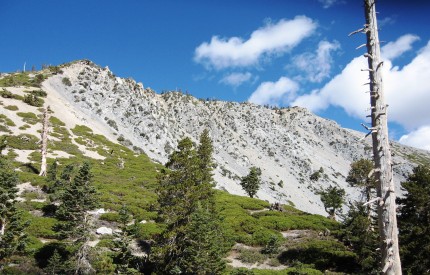
We continue on a ways and get a view of the top of the ridge above the bowl. Up beyond that ridge is the peak. We continue knowing that soon there is a crazy steep part of the trail. Again, it trail becomes a labyrinth of trails interconnecting. There are also plenty of “micro” switch backs that zig and zag back and forth within about 10 to 15 feet.
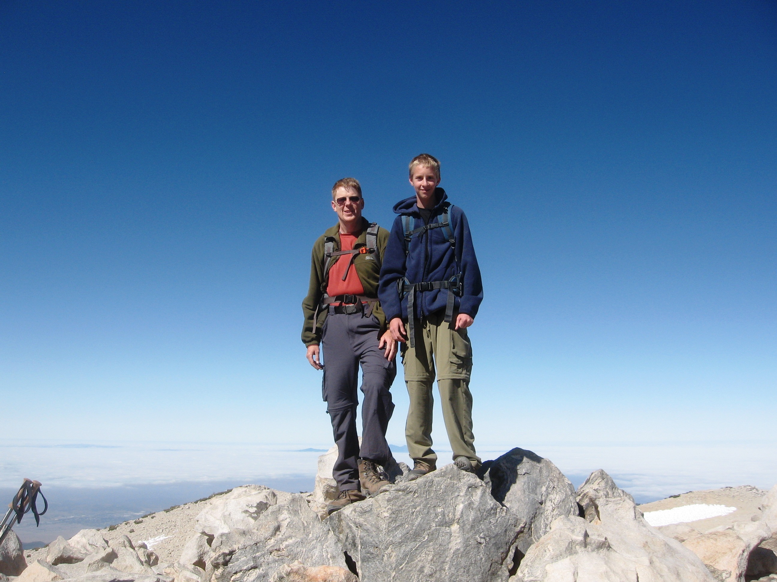
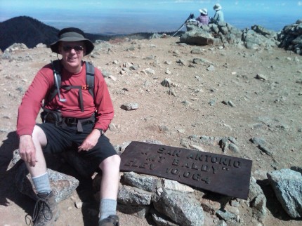
Soon we are on top of the peak for a picture with the marker. We take a few minutes and eat lunch and enjoy the view.
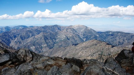
We look around at the views from all directions. The high desert to the north can be seen in the westerly photo showing Mt. Baden Powell.
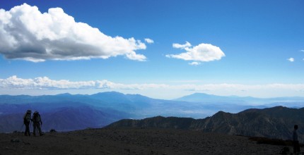
In the easterly view, Mt. San Gorgonio and Mt. San Jacinto can be seen in the distance.
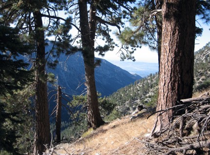
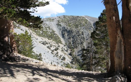
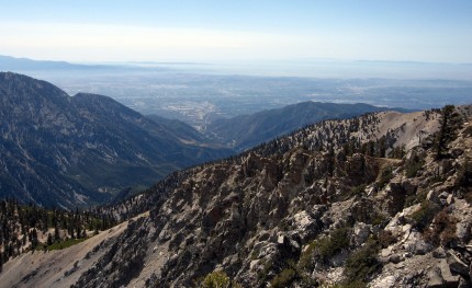
As we left the summit I took a picture looking down San Antonio Canyon towards the south.
We made fairly quick time back down the trail. However, we had to be slow and methodical on some of the steeper parts as there was a tendency for our feet to start sliding out from under us due to the steepness. Once on the dirt road we began a fairly brisk walk back to the truck.
As we looked back up to the peak, there were a lot of clouds. In fact, San Gorgonio and San Jacinto peaks also accumulated a lot of clouds as well. The weather forecast was 20 percent thunder showers after 11:00 and it looked like there was a higher probability of at least 20 percent than when we were at the peak at noon.
The hike was a great hike and I will go back soon. I want to make the hike on a day that will be much clearer. That may be a cold day in November or December when the skies are clear and the visibility is many miles. Before then, I may just find myself on the peak San Jacinto.

