Jacob and I started on a three day trip where we were going to meet up with his Venturing Crew on their way to Death Valley. We wanted to grab a few geocaches along the way as well. Inside the park, geocache containers are not allowed. However, there are “Virtual” geocaches as well as Earthcaches. There were several sights that we were going to see in on the trip, most either a virtual or earth cache.
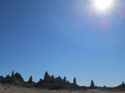
We drove up 395 and made out way to the Trona Pinnacles, a place where calcium rich groundwater interacted with the briney water in ancient Searles Lake to create calcium carbonate tufa towers. This was an Earth Cache GC26901 for those interested. There was also a regular cache, GC2PA0AD called Auto-Zone there as well.
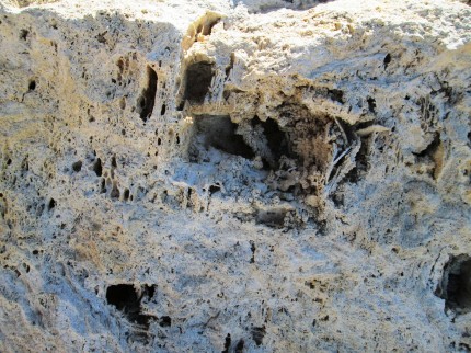
So they look like some rock structure. On my way to the geocache in the area I tripped and stopped my fall with my hand. They are just not some rock. I tore a hunk of skin off my hand due to the structure of the material making up the Trona Pinicles. If I did not know it was an earth cache, I would have never used the term “calcium carbonate tufa towers.”
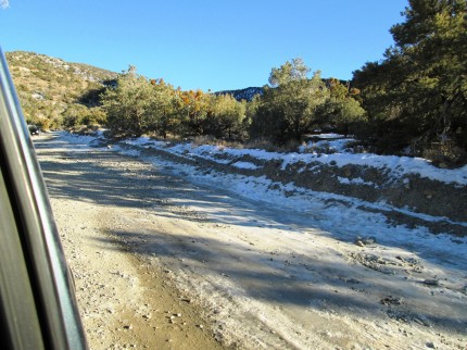
From there we drove north towards Panamint Springs and then over Towne Pass to Emigrant. Then it was south on Emigrant Canyon Road until we went up Wildrose Canyon Road. We were on our way to the WIldrose Charcoal Kilns. We never made it. When the truck in front of my started sliding backwards on the snow and ice covered road, we began to back up, find dry ground and turn around. Once we were in a safe spot I took a photo which contrasts much of what we saw in the rest of Death Valley National Park. The charcoal kilns are virtual cache GCJ1Z8 and will have to wait for another trip. There is a mountain close by that I want to hike.
We then drove back the Emigrant and headed to Stove Pipe Wells to fuel up. We past the Mesquite Flats Sand Dunes, another earth cache, as the sun was setting. As I look back, we should have snapped a picture then because we were not going to make it back to the dunes. Once we arrived at Texas Springs campsite, just outside of Furnace Creek it was dark and getting cold. As it was, the temperature was going to go down to 32 for the night.
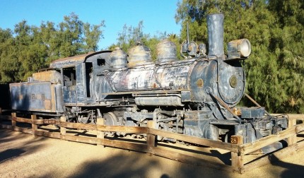
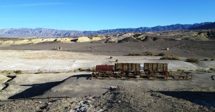
The next morning we were off to Scotty’s Castle, which had two virtual caches. We left camp a little earlier than the others so that we could catch the two virtual caches in Furnace Creek. There are some things that we saw in the trip that the others did not because we were caching. For example, the Death Valley Railroad Locomotive number 2. It was because we were looking for “Lego Dan’s Death Valley RR cache” GCF6F8. We also found the information for the “How Low Can You Go?” cache GCECCB. That led us into the museum where we saw some cool rocks and other artifacts.
We met up with the others at the visitor’s center to gather for the drive up north in the park for Scotty’s Castle.
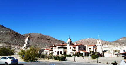
It was a fairly long drive up the east side of the valley. Once we arrive, it was determined that we would eat lunch and then take the two tours of the castle. It is interesting that using a spring that supplied 200 gallons of water per minute; he could power his house with electricity as well as run a compressor for refrigeration, all done in essentially the middle of nowhere. It is also the location of two virtual caches.
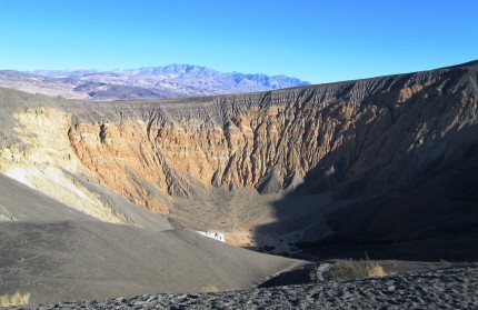
From there it was off the Ubehebe Crater, the large crater in a series of craters created when magma came in contact with groundwater creating steam that exploded up through the overlaying rock. Would you believe that this is the location of an earthcache? Yes, “Ubehebe Crater” cache GC2WCVB.
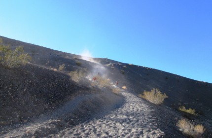
There is also a virtual cache at the location. However, that requires a trip to the bottom for “UBEHEBE” cache GC8CE8. The trip to the bottom was fairly quick as I followed Jacobs cue, who ran, and jogged carefully. He made it to the bottom and took a picture of me making my way down. A nice speed to the bottom was what was needed to not to be in the dust.
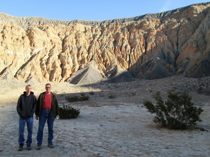
It is about 500 feet down in the crater. There is actually a fault that runs through the crater. If you look back to the first picture of the crater, you will notice the yellowish and reddish walls of the crater. Once you are in the bottom you can see more clearly that they are two distinct layers that come together as a fault.
Next was the grind to the top. One step up, a quarter step back down as your foot slid. Another step up and more lost ground, over and over to the top. I was happy to pass a few youth on my way out. The day was getting short for hours and we headed back to camp. Tonight Jacob and I were making pizza for dinner. We each had a 12” pizza crust that we were going to cook in the 15” Dutch oven. The pizza was great and we retired for the night early.
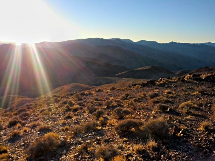
Jacob and I left before many of the boys were out of their tents. We had packed up everything the night before and only had to put our sleeping bags and tent in the truck. We wanted to get to Dante’s View early. The sun was already on it’s way up when we got there.
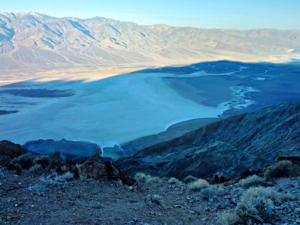
It is a place where you can see the lowest point, Badwater at 282 feet below sea level and the highest point in contiguous United States, Mt. Whitney at 14,505 feet above sea level. Mt Whitney was snow covered and could be seen through the haze in the distance above the Panamint mountain range as Badwater was seen below. It is also an earth cache, “Dante’s View – Basin and Range Topography” cache GC2V539.
From there we went to the Harmony Borax Works, another earth cache titled “Death Valley,” cache GC1RBAD . There was an interpretive trail that we followed and learned about the process. So how do 20 mules haul borax 165 miles in the desert? With a water tank attached. How did I know that it was 165 miles? By reading the signs on the interpretive trail, which is how. We had to read a lot of signs to get all the answers.
We then drove back to the Furnace Creek Visitors Center and watched the movie on the park history that we missed the day before. It was a good movie. We received the call that the boys were ready to go and we would meet the rest of the group down the road.
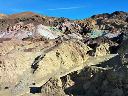
The next stop was Artists Palette. This is an area that has various colors of rocks from volcanic minerals, the availability of oxygen as well as heat and water. Simply put, it looks like someone threw some paint on the hills. Additionally, it was another earth cache GC2W5ZY.
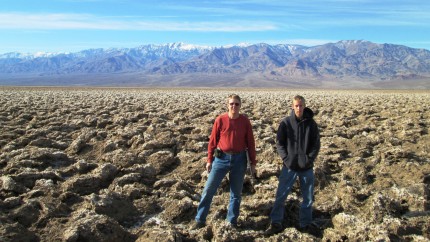
We then made our way to the Devils Golf Course, earth cache GC1N0X1. It looks more like the Bonneville Salt Flats on steroids. There is nothing flat about this salt patch. Just a bunch of salt crystal structures creating an extremely rough surface. Of course, reading the information in the earth cache and going to the visitors center let us know that this was once the bed of Lake Manly, a lake with a depth of about 600 feet. Now this area is above the flood plain an does not receive the leveling effects that the Badwater Salt Plane does.
In this picture at the Devils Golf Course you can see Telescope Peak towering at 11,049 feet behind us. A few thousand feet below the peak in the northern direction are the Wildrose Charcoal Kilns.
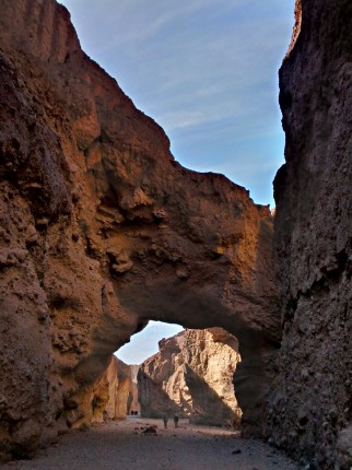
We made our way to the Natural Bridge. The bridge was created by water making its way through more amenable materials below what is now the bridge. It was a short hike to the bridge, about a half mile. This picture is taken looking west through the bridge. Yes, it is an earth cache, GC23DG2.
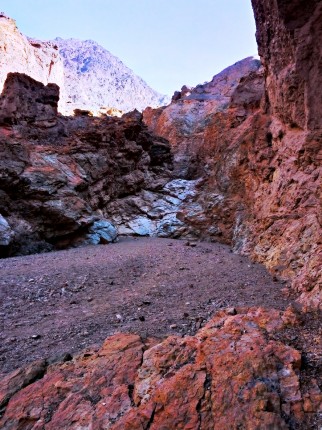
Jacob and I continued our way up the canyon. We found an interesting formation left by water as well.
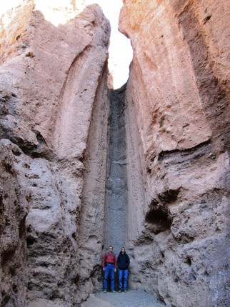
We made our way further up the canyon to where it became obvious, walking was not going to be easy. We climbed a little higher and there was a chute that the water came down from a higher lever across rocks, “waterfall” in the picture. The visitors guide says, “Trail ends at dry waterfall.”
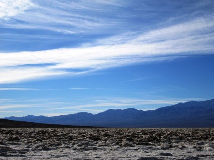
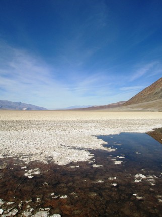
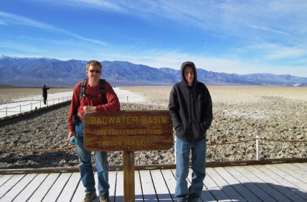
We started down the trail to catch up to the others. We were headed to our last stop, Badwater Salt Flat, the lowest place in the. Now this place looked more like a salt flat. It was interesting that there was a fish that lived in the water. Also of interest is that it is another virtual cache, GCH657 – “Don’t Drink the Water.”
Of course the day would not be complete without the obligatory photo by the sign.
Overall, it was a great trip. (January 3-5, 2013) Jacob took most of the pictures and he did a great job. I just need to schedule a return trip to see the things that I missed this time around.
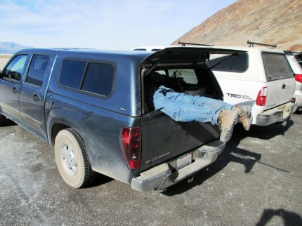
As for the pictures I took, it is usually obvious, like the one below . . .

