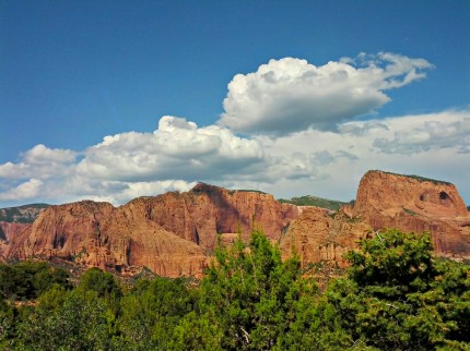
I have passed Kolob Canyons for years and never stopped by to take a look. The canyons are just off Interstate 15 and the road is only about 5 miles long. I have seen Kolob Canyons Road on the map of Zion Zion National Park and wondered what the big attraction was. A coworker told me about visiting the canyons and said that they were stunning red cliffs and canyons. With that in mind, and the need to take a break from driving, we drove up the road, got out of the car and took a look.
Our first stop was the Visitors Center and the location of the first earthcache, The Hurricane Fault Who knew that there was an active fault in Southern Utah? An active fault is nothing new being from Southern California. The Kolob Canyons were formed by being pushed up along a fault line over a long period of time.
Our first stop was the Taylor Creek trailhead. There is an earthcache Taylor Creek Folding, but that required a hike and I did not get a permit for hiking. So what is folding? It is where the is so much pressure on the layers of rock that they fold like silly putty. I will put this on my list of future hikes.
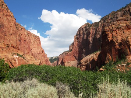
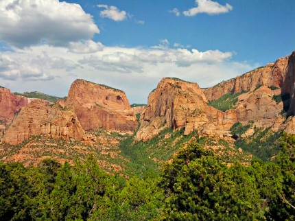
A little further up the road give us the opportunity to take a look up South Fork canyon. You can click on the pictures to make them bigger.
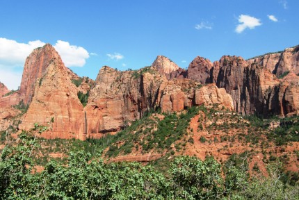
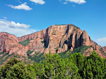
Our next stop was the earthcache Hanging Valleys of Kolob Canyon. What is a hanging valley? Dark mineral stains give away the Hanging Valley. Originally the side canyon was a tributary connected to the main canyon’s stream. Uplift along the main canyon wall separated the side canyon. In time the side canyon was marooned, hanging a thousand feet above the main canyon floor. So can you find the Hanging Valley in the picture below?
In case you missed it, click on the picture to make it bigger. It is on the left half of the picture. After visiting the stop for Hanging Canyons we then drove up the road to the Kolob Canyons Viewpoint where I took a few pictures.
Did you catch the Hanging Valley in the picture above?
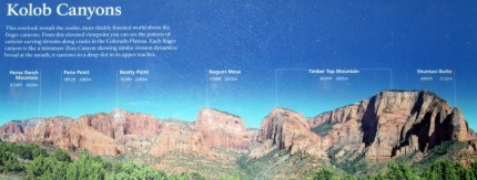
The amazing thing was a person does not even have to walk 10 feet from the car to see all of this. If you want to know the names of the different points, mountains and buttes, there is information below.

