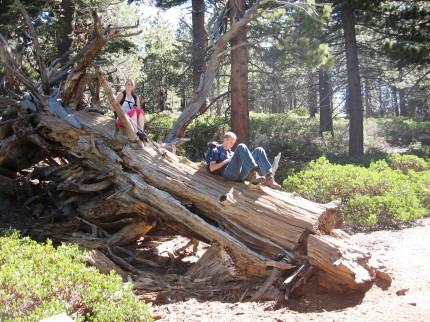
Today was another training hike for Philmont. Unfortunately, the only young man that could make it was Jacob. Emily was going to go as well, you know, for the exercise. We got a late start and left the house at 6:45 am. We were crunched for time because lunch was going to be at the company picnic. It really was a difficult time line.
We made it to the Mill Creek Ranger Station to drop of Emily’s car and then head up the mountain. We made it to the trailhead at 7:45. I got out of the truck to get out the hiking poles and day packs. Jacob and Emily got out momentarily and jumped back in. I was in shorts and it was a little chilly. They were in long paints and thought it was down right frigid. I packed Emily’s day pack with one of my jackets. She grabbed the day pack and quickly put it on. However, I knew, once we hit the trail we would warm up.
There were plenty of switchbacks in the beginning to get warmed up on. The coats soon came off and Emily commented on how good the breeze felt. I had figured 40 degrees was good hiking weather for shorts and I turned out correct. However, at the trailhead I noticed that everyone was in long paints.
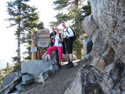
We made out way to the wilderness boundary and it was time for a group shot. There was a nice rock ledge that would hole the camera.
We were making fairly good time. Jacob had been taking plenty of pictures and both Emily and Jacob were texting. The also walked faster than I did so they would take the opportunity to take time to send text messages or post something to Facebook.
Soon we were traveling across some fairly flat terrain. Lots of manzanita and Ceanothus cordulatus, also known as Mountain Whitethorn. In places the trail was so narrow that hiking poles could not be used and the Mountain Whitethorn simply left scratches on the legs of those in shorts. It was convenient that the sometimes the Mountain Whitethorn was only on one side of the trail. It just waited for me to come back down to attack the other leg.
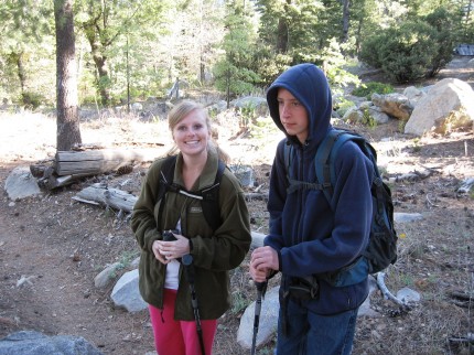
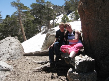
The snow showed up above 8,000 feet in elevation in shady places. On the north faces, there was more snow. At the end of one switchback we encountered a bench where I took a picture of Emily and Jacob. The elevation was about 8,800 feet.
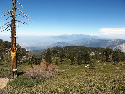
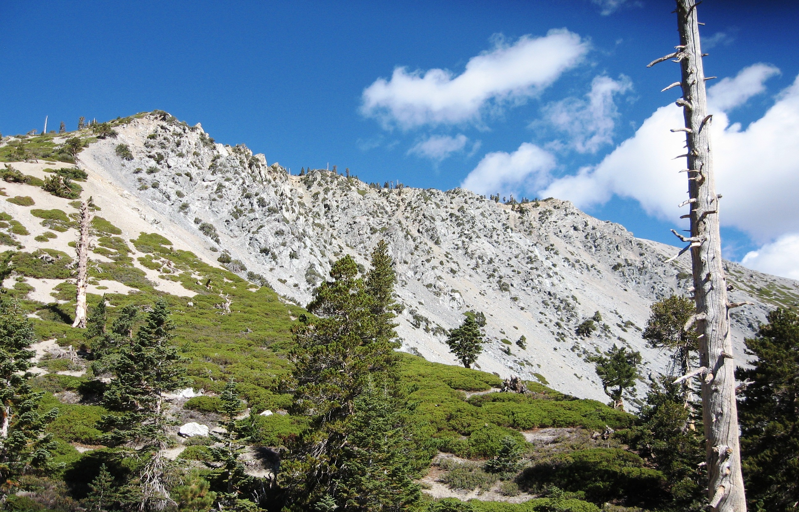
We made it through the patches of snow on the trail to where the trail was less snow covered. We passed the Lumber Pine creek which flowed from Limber Pine Springs. We could see Mt Baldy towards the west and the valley below. You can click on the pictures to make them bigger. Mt. Baldy has some snow on it in the distance.
We were in search of the San Bernardino Mountain Initial Point. Colonel Henry Washington established the initial point of the San Bernardino Base and Meridian at the summit of Mount San Bernardino in November, 1852. The monument is the starting point for sectional subdivisions for all the land in southern California. More information on that is available here.
We were running out of time to make it back to the company picnic. We asked some people coming down the trail, how much further. The response, not much further to Limber Pine Bench but due to lots of snow on the trail, it will take some time. It was 11:00 and the food was being served at 1:00. We had traveled on the trail for over three hours and that left us a short amount of time to get back. It would take about a half hour to get into Yucaipa from the trailhead as well. The people we were talking to said, you better get going. We hiked and ran the best we could and made it back to the truck at the trailhead at 12:45, about half the time it took us to get up the trail to where we did.
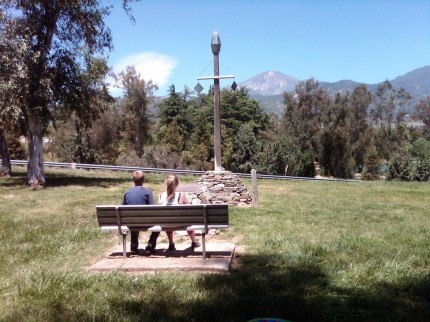
We made it to the Yucaipa Regional Park and as we were making our last left turn into the group picnic area, lo and behold Jacob said, “We hiked all that way to find that place and it is here in park.” Sure enough there was a replica of Colonel Henry Washington’s Initial Point. We ate lunch and I said, hey lets walk over and take a picture of the monument. You can see the replica of the 25 foot tall initial point as well as San Bernardino Peak in the distant background where the actual Initial Point really is.

