Two weeks ago I hiked to the top of Mt. San Jacinto. I thought I would do it again today. The last trip was 16 miles with an elevation gain of 4,400 feet. Today’s trip was 19 miles and an elevation gain of 5,500 feet.
It reminds me of a parable I was told years ago as a young teenager. Mr. Pace told me, “There are two roads to Beaumont.” What did he mean? He was trying to tell me that there are often two different ways to get to the same point. One may not be any better than the other. There are just two ways.
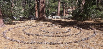
As I have got a little older and driven to Beaumont, there are two good ways to Beaumont from Riverside. Additionally, there are three other ways to get into Beaumont via a longer or more circuitous route. That leads me to believe that if I really understood what Mr. Pace was telling me as a young teenager, he could have continued, there are other roads as well. They may get you where you want. However, there is a greater risk of getting lost or never making it. You may get caught in a swirl of pine cones and never come out.
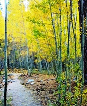
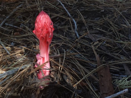
So why take a different route? You can get to the top of Mt. San Jacinto from the east or the west. Two weeks ago we made our final ascent from the east. Today it was from the west. Sometimes to the casual observer, things look the same. Then again, they may not. Additionally, every trail leads to a slightly different adventure. For example, I am familiar with snow plant or snow flower, less commonly called Sarcodes sanguinea. The Sarcodes is a monotypic genus of a single springtime flowering plant in the heath family containing the single species.
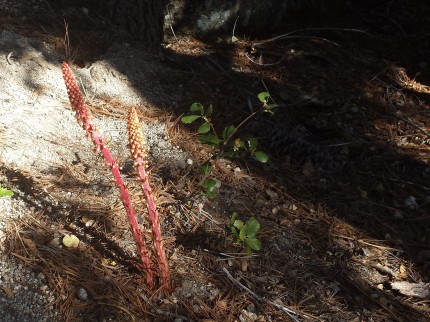
On this trip I was told that there are two different snow flowers. However, with research there is only one species of snow flower. So what was the plant that looked like a snow flower? How about Pine Drops or pinedrops. The less common name is Pterospora, commonly known as pinedrops, Albany beechdrops, or giant bird’s nest is a monotypic genus in the subfamily Monotropoidiae of the blueberry family, the Ericaceae, and includes only the species Pterospora andromedea. (Thank goodness for Calflora and Wikepedia)
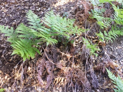
Of course there was other things to see like a fern that looks like all the other ferns on the trip. However, it may be one of three so I will need to take better pictures to really know which one it is.
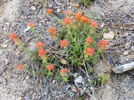
Then there is the reddish paintbrush plant. More specifically, Wavy Leaved Paintbrush, pine Indian paintbrush, wavy leaf paintbrush also know as Castilleja applegatei.
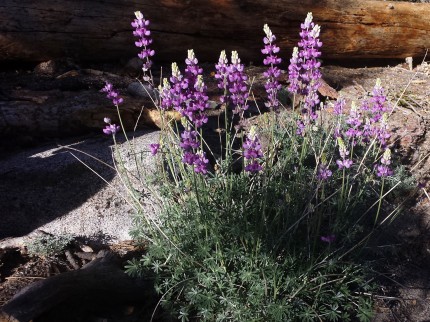
Then there were these beautiful groups of Lupine. There are a lot of different Lupine plants and I believe this one is Lupine, summer lupine, western lupine or less commonly known as Lupinus formosus.
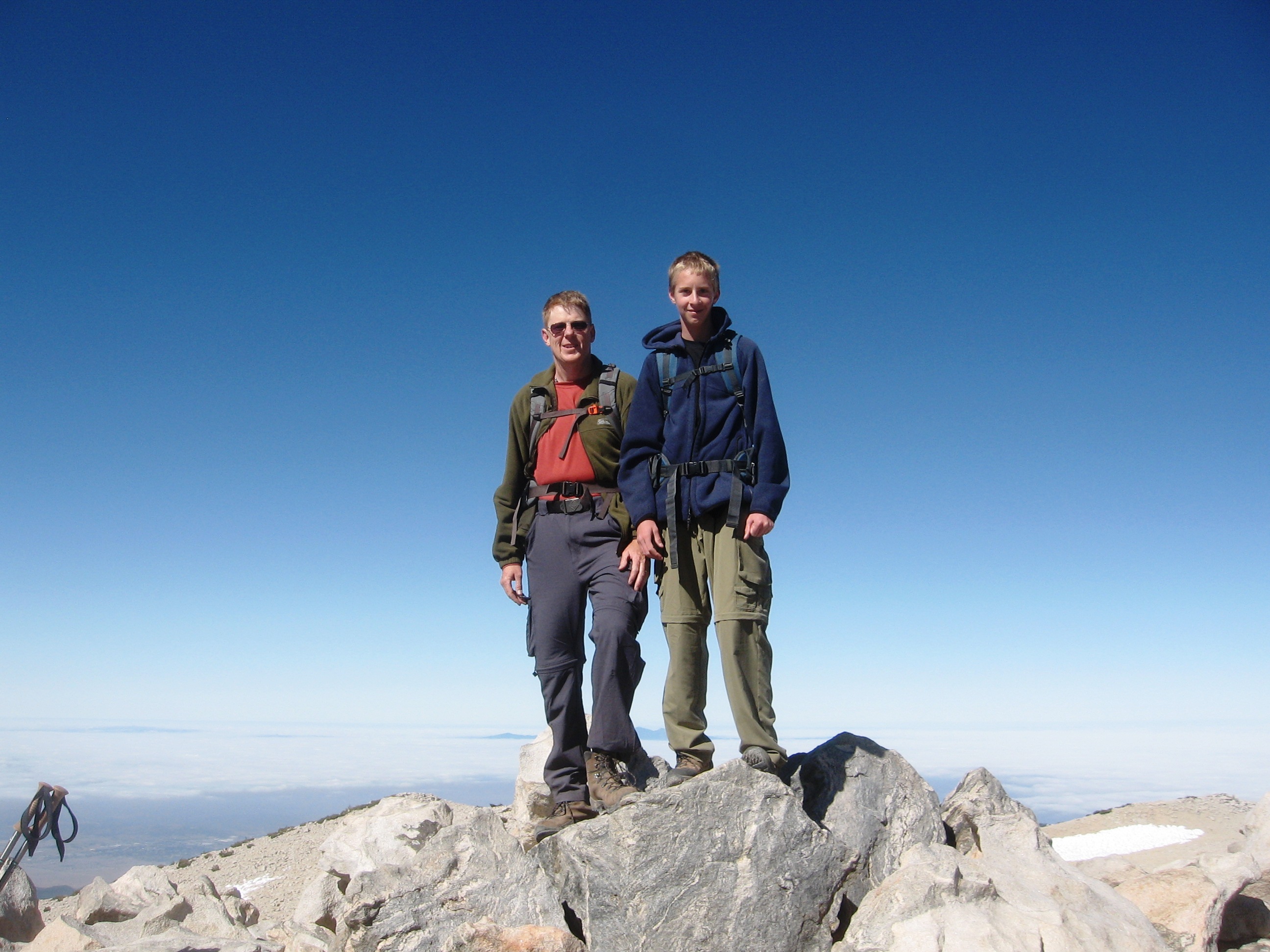
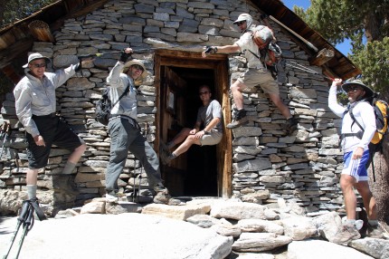
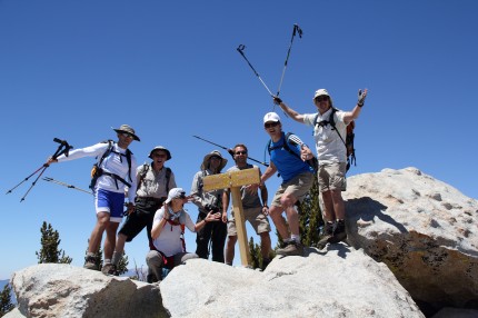
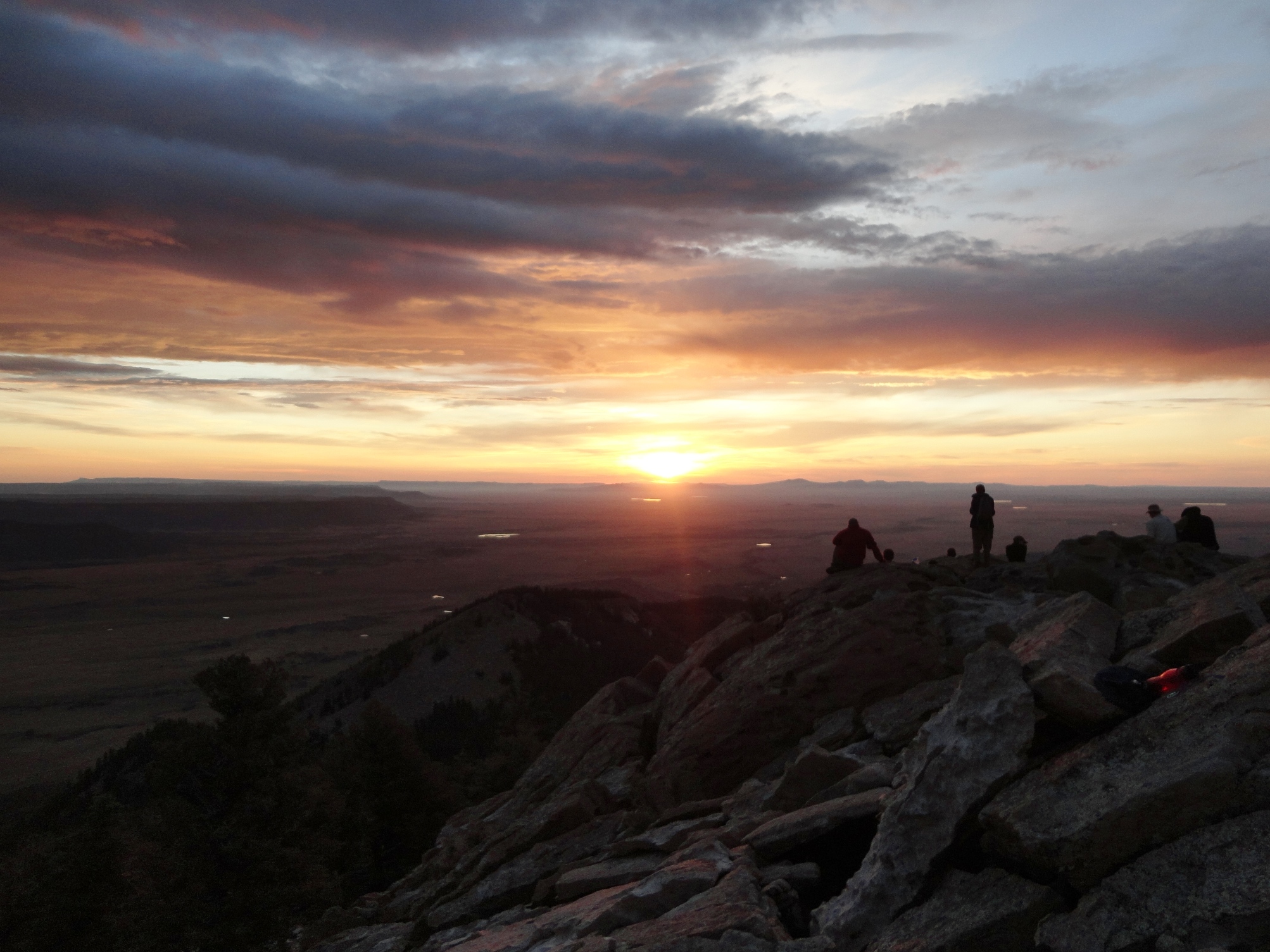
It only took 5 hours for me to reach the top. It was worth it as I have never attempted that many miles or elevation gain at one time. What do I have to show for it? A couple of pictures.
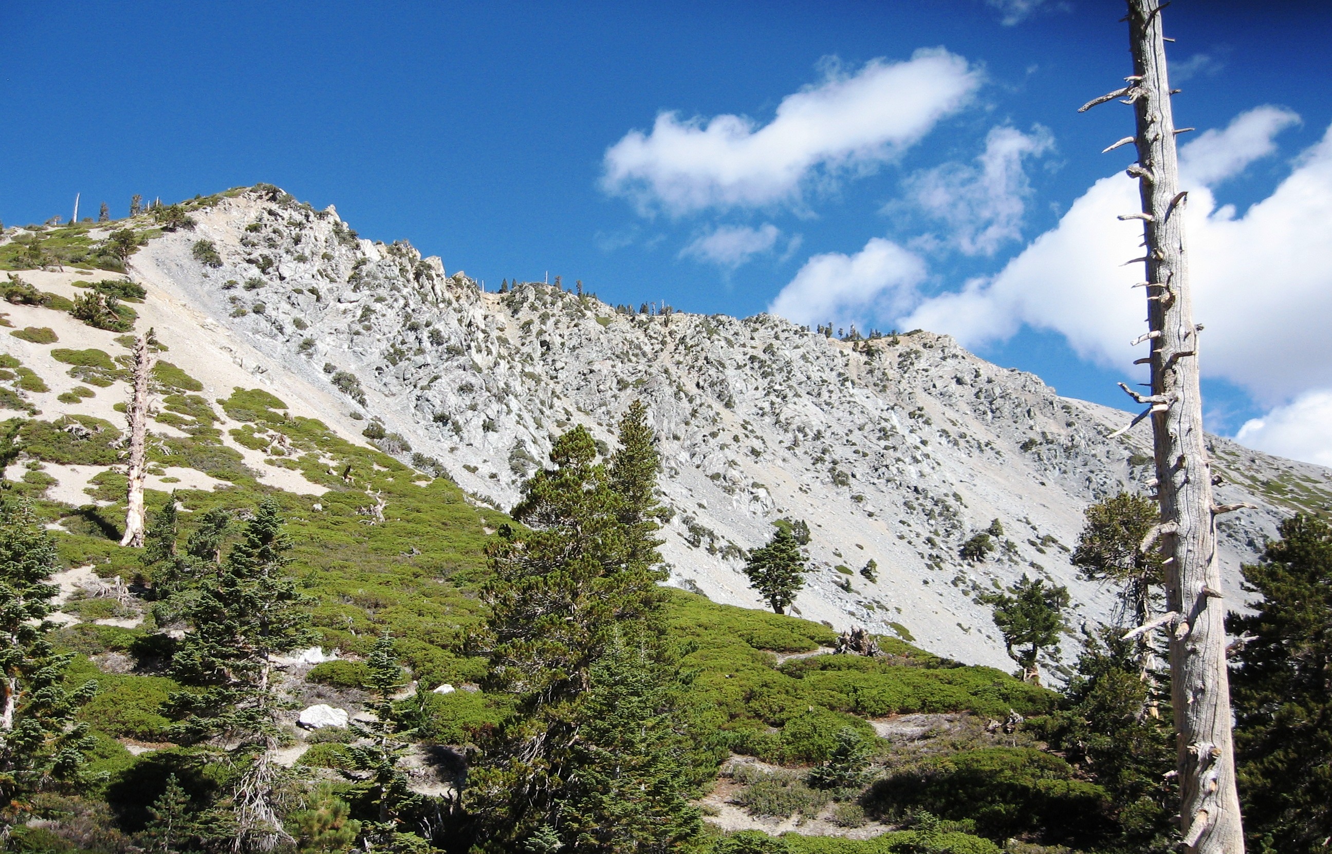
There is more than pictures. There is the thrill I felt as I climbed my way to the top to sit on a rock and have lunch with the others. It was not easy. It was just a different way of getting to the top of Mt. San Jacinto. I have been up the tram and then hiked to the top, up the Devils Slide Trail and to the top and now up the Deer Springs Trail and to the top. What is left? The Marion Mountain Trail, Seven Pines Trail, and even the Cactus to Clouds Trail.
The Cactus to Clouds Trail from Palm Springs to San Jacinto Peak is a hiking trail with the greatest elevation gain of any trail in the United States. Also known as the Skyline Trail, it climbs 8,000 feet from the desert to Long Valley where it joins with the main trail to gain another 2,600 feet to the summit. That is 10,600 feet of elevation gain over 15 miles. From the top you hike back 5 miles to the tram for a total of 20 miles and then ride the tram down to the bottom.
This all reminds me of Robert Frost and The Road Not Taken. I guess the real question is will it get you to where you want to go? At least it could get you to Beaumont.

